Over the last half year I have developed and executed a wall-sized map installation inspired by Boston & Cambridge for the Cambridge Innovation Center (CIC). I’ve displayed work at CIC several times before and was excited to work with them again on this commission, and creating a project in a new medium at such a large scale has been a great experience.
The long first phase of the project was devoted to preliminary research and experimentation. I knew I wanted to use the design of my existing Boston map to streamline the process, but I would need to enlarge it considerably. My challenge was to pick techniques to transform this relatively small image to a large scale, and to select materials and a display format that would be easy to transport and install in a conference room environment.
Decals and murals were considered, but I’ve been working on wood panels recently and was excited to continue with that medium. It was harder than I anticipated to quickly source 10 square wood panels of the same dimensions—I owe a lot to the friendly staff at Artist & Craftsman Park Slope! I would recommend their vast warehouse location to anyone looking for an art supply adventure.
While sourcing the panels I was also working on digitally tracing my Boston map so I could precisely scale up the roads. My idea was to use solvent transfer techniques to apply digital printouts onto the painted wood panels, so I needed a wall-scale digital image to work from.
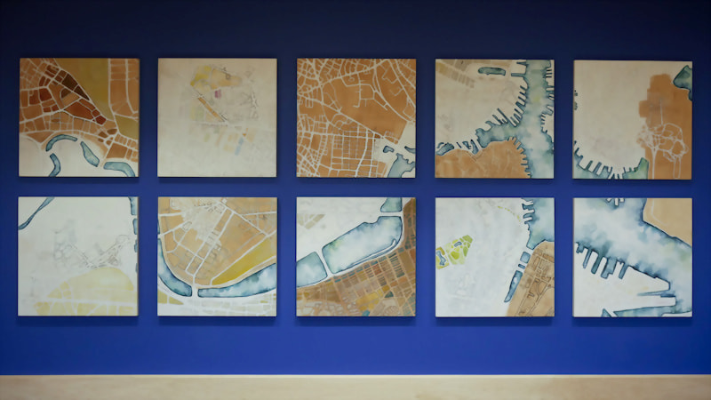
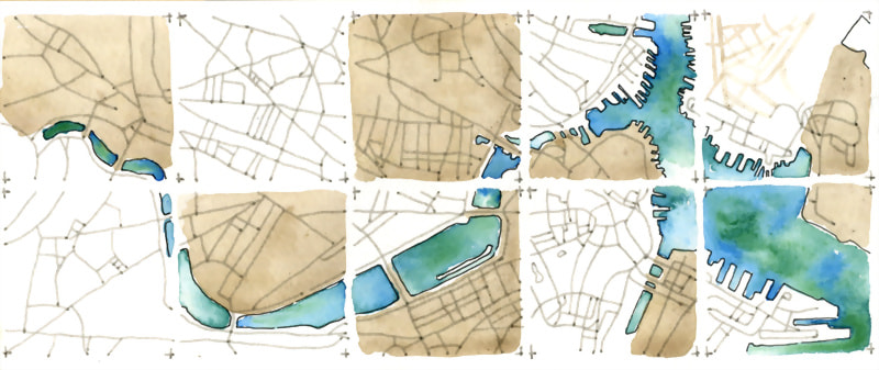
Rather than directly reproducing the original image, to take advantage of the panel layout I chose to design each panel as an individual artwork. I produced a color mockup for CIC that divided each panel into alternating regions of white gesso, brown gesso and blue-green watercolor. These small-scale sketches helped me quickly decide how I wanted to structure an otherwise oversized artwork.
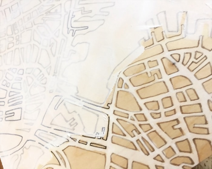
Once I had the digital map and the color sketch, I used a projector to trace the image structure onto the panels. At minimum I needed to delineate the areas for the river, the white gesso and the brown gesso, but I found it was most time-efficient to trace the streets in permanent marker as well.
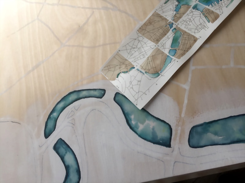
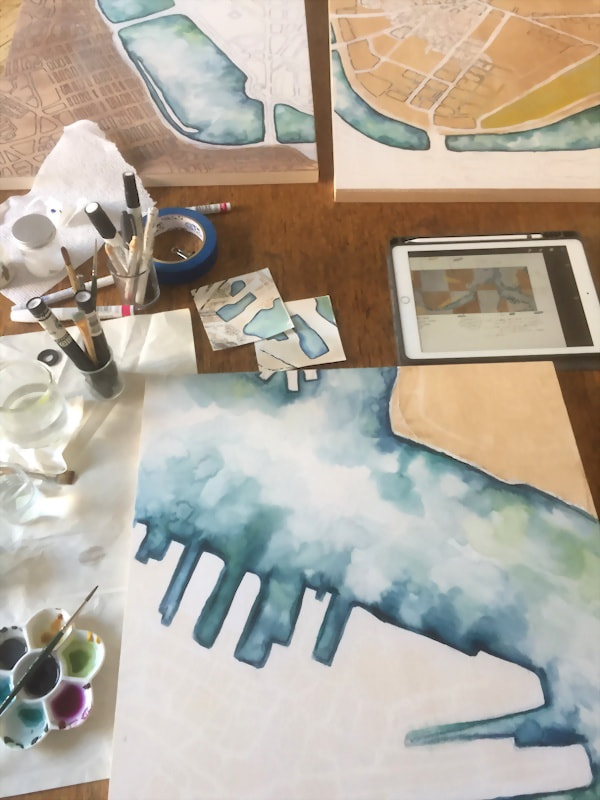
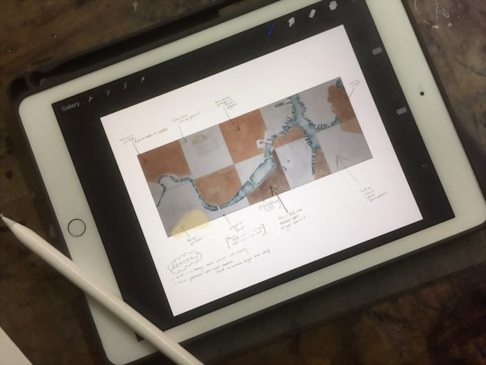
Adding detail was a balance between focusing on each panel individually, then stepping back to ensure there was a consistent rhythm throughout the whole installation — which was particularly difficult since I barely had space see the entire work at once in my studio! It’s always surprising to me how increased scale immediately increases the physicality of execution. I developed a workflow of arranging + photographing all the panels every morning, then planning out the day’s work on a tablet.
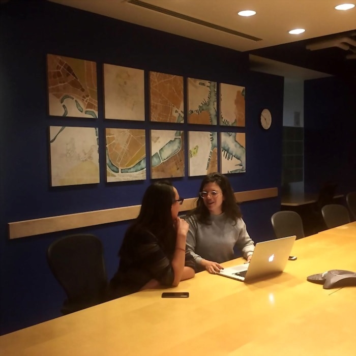
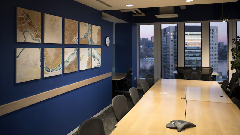
After several weeks of adding detail and color, the panels were spray sealed and brought to Cambridge for installation!
The conference room has wonderful views of the Charles River and across to Boston. It was lovely to install my map while looking out at the real-life version of the streets and waterways I had depicted.